The Site Map is central page for MiiNT access where different users can view information via a mobile device or desktop or any web browser. It allows users to view current resources, equipment positions, analyse any routes taken, and distances traveled by each equipment.The sitemap displays maps which contain one or more layers that can be viewed in different Styles.It also allows users to view, import or edit the maps. It also has the Geofence functionality which enables the users to create a geographic boundary around an area or convert a location to geofence. It also display the location which have had any productions records like drilling or blasting.
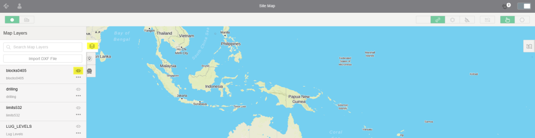
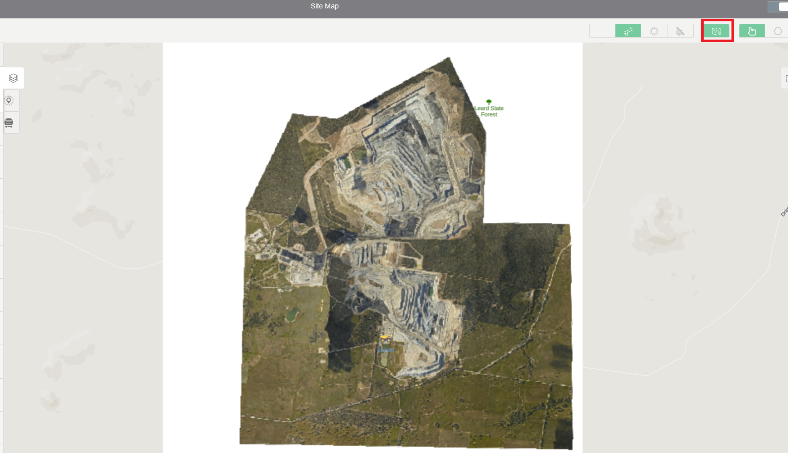
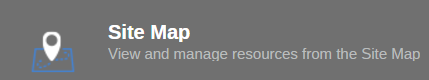
It can be accessed after login into MiiNT web page by selecting the MiiNT icon and clicking on the Site Map.
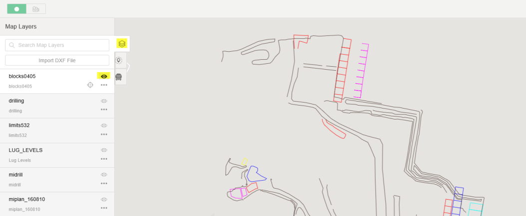
The map window page has 2 panels the left and right with different icons which allow you to display, edit various option on the screen.
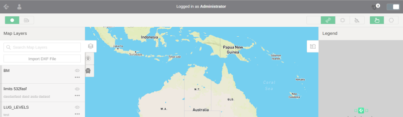
The table below lists of the available icons on site map page:
Icons | Description |
---|---|
|
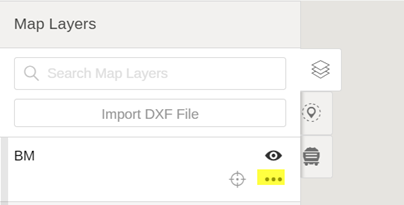
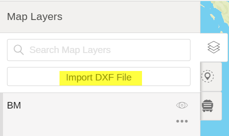
Map layer allows you to select and view different maps. |
|
Geofence allows you t o view or edit geofences on the map.. |
|
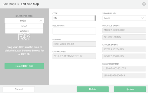
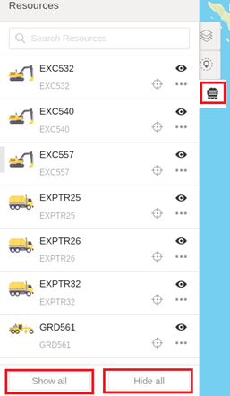
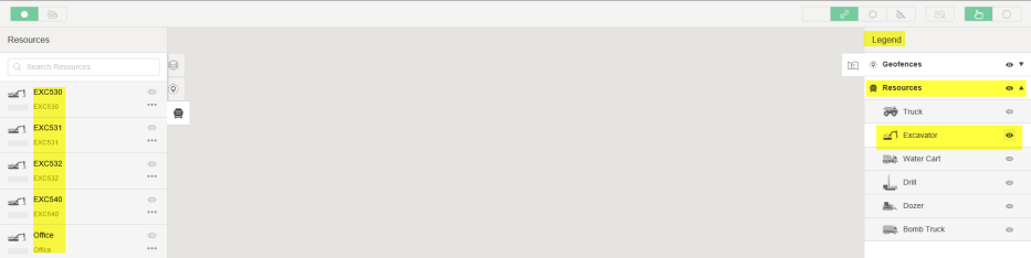
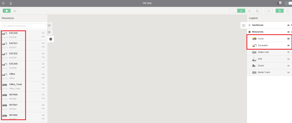
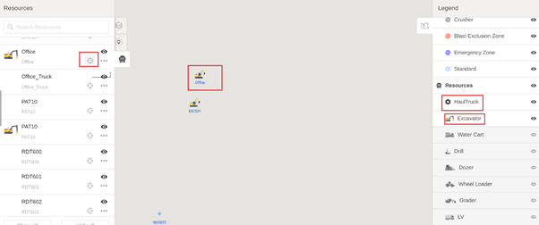
Resources allow you to view all equipment on the sitemap.Site Map can be modified using Edit and the changes can be saved. |
|
It displays the legend on the map. |
|
It allows you to create a new geofence on the map. |
|
It allows you to view the map in satellite mode. |
|
It allows you to view the map in street mode. |
![]() |
It allows you to view the flyover. |
The map layers allow you to view different maps loaded on the screen, maps that contain one or more elements and one or more layers. As example underground maps can contain several layers. It has the functionality to import new DXF and edit/update any current map.
Different maps can be loaded on screen by switching on the visibility icon and pressing the location will allow you to view in detail.
The map can be edited by pressing the edit button to delete or update any existing map.You will be prompted with Edit window which requires you to select the coordinate if you will be updating the existing map.
A new map can be imported into the sitemap by selecting Maplayer ->import DXF File and you will be prompted with new site map window. Select the coordinate and choose the DXF file to import and give a code and description and press Save map.
It displays the Flyover image on the map. To view the current flyover press on the flyover button and zoom in to the area to see the image. If there are no flyover image has been uploaded into MiiNT, you will be prompted to contact support. To add or edit any flyover images, send the flyover file to Administrator or contact support directly to organize for the file to be added or updated into MiiNT.
It displays the current location of equipment on the map. This functionality is enabled with GPS capability on the equipment that ca be tracked on the map. You can see the lists of the equipment available on the sitemap by pressing on resources icon on the left side menu. To view or hide available resources, press show all or hide all.
The lists of equipment displayed on the left menu will depend on the filters applied on the which equipment group to be shown on the map. The right side menu or legend allows the resources to be grouped by equipment type. One equipment type or all can be made visible. As an example if on the legend only Excavator is selected, on the left panel only Eqipment type of excavator will be displayed and can be made visible on the map.
If more than one equipment type needs to be visible, select the visibility on the legend to be reflected on the right panel. As an example if Trucks need to be added, select Truck then the changes are reflected and the lists of both trucks and excavators are displayed.
If an equipment needs to be located and viewed on the map, press on the locate icon and the map will be focused on the equipment.